Southern California is finally starting to dry out. The next storm may come in 9 days

After five days of drenching rain and heavy snow, primarily driven by a relentless atmospheric river storm that caused widespread flooding, mudslides and power outages, Southern California should finally start to dry out.
“For the next week or so, it looks like it’s dry,” Mike Wofford, a National Weather Service meteorologist in Oxnard, said Thursday. Sunshine is even in the forecast for Friday, and a “slow warming trend” should kick into gear early next week, forecasters said.
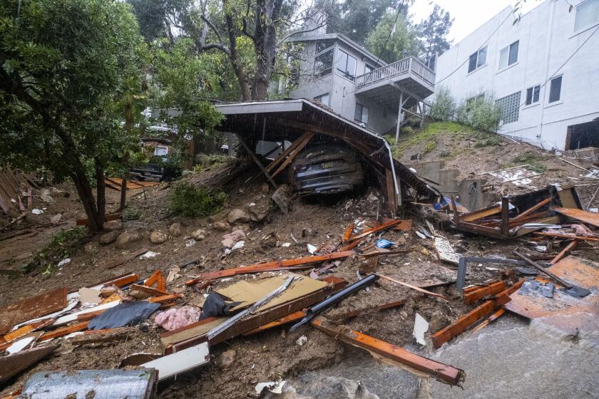
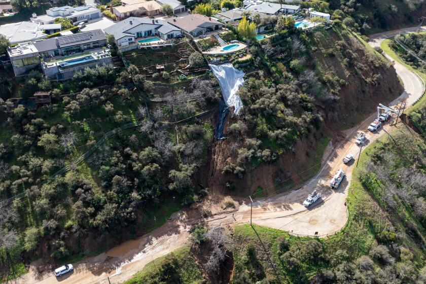
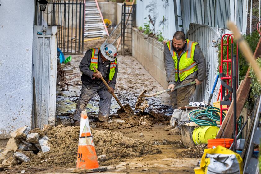
It will give the Southland some time to focus on recovery from the devastating storm that caused more than 500 mudslides in the city of Los Angeles — and even more throughout the county and region — and severely damaged more than 45 homes or buildings, flooded countless roads and forced dozens of evacuations. Statewide, officials have confirmed nine people died in the storm.
Over the last five days, Los Angeles firefighters helped 50 motorists stranded in water and swift water teams rescued five people, including a man who jumped into the roaring Pacoima Wash to save his dog (both survived), according to the Los Angeles Fire Department.
Many of the evacuation orders and warnings have been lifted, but city officials are still urging caution for anyone in hillside communities north of Beverly Hills or living near recent burn scars. There are still several road closures from significant mudslides, including on Mulholland Drive and in the Sepulveda Basin.
L.A. County officials are urging residents and business owners to fill out a damage survey to inform disaster assistance and recovery.
Forecasters note that despite this break, it’s far from the end of the wet winter season, with the latest long-range forecasts showing a return of heavy precipitation and high-elevation snow Feb. 17 to 21, according to the national Climate Prediction Center.
“We are expecting probably something the following weekend, in like nine days or so,” Wofford said, but the timing is still too far out for specific predictions about a storm or amounts of rain.
Potential return of heavy precipitation and high elevation snow to California and Arizona, February 17-21, after a brief respite.https://t.co/miSniPw0d6 pic.twitter.com/GqPbCMChU8
— NWS Climate Prediction Center (@NWSCPC) February 7, 2024
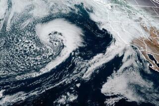
Wednesday evening brought the final surge of rainfall for L.A. County, from a low pressure system that brought some downpours, and flash flood warnings. Wofford said up to an inch of rain fell in some higher elevations and a quarter- or half-inch countywide, which pushed five-day rainfall totals even higher, hitting more than 14 inches in some places, including Topanga and Cogswell Dam north of Monrovia.
As of Thursday morning, downtown L.A. had received 9.03 inches since Saturday — more than half its average yearly rainfall of 14.25.
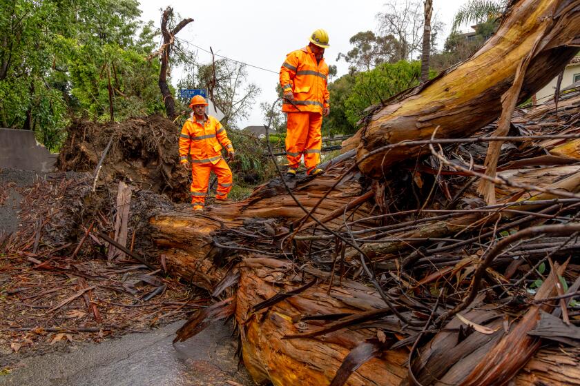
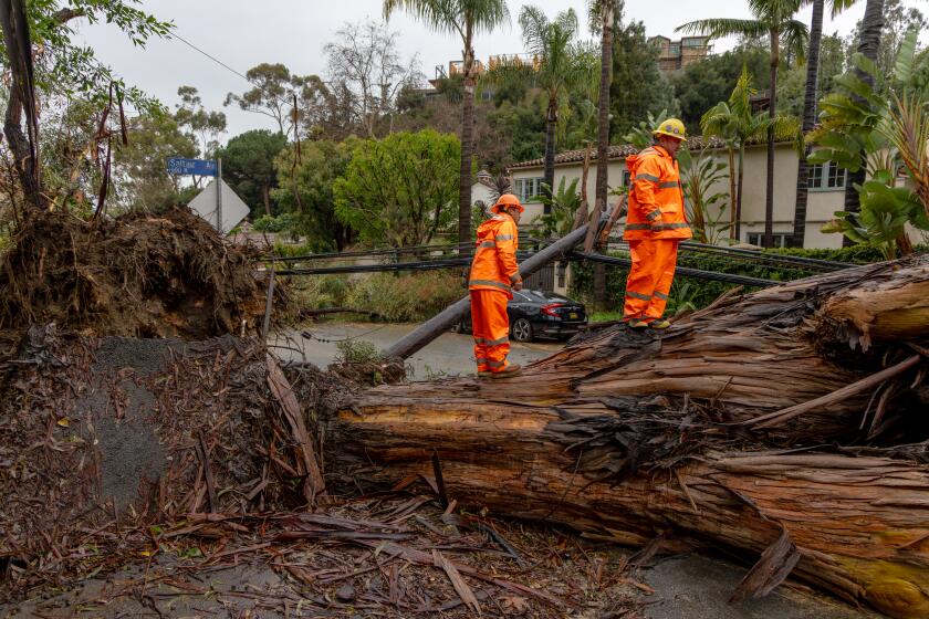
The weather service also confirmed that an E-1 tornado — which indicates winds over 86 mph — touched down in the Grover Beach area of San Luis Obispo County on Wednesday afternoon as a severe thunderstorm moved through, downing trees and power lines.
Video from the aftermath showed toppled trees and some uprooted.
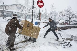
Wednesday’s storm also brought further snow to the Southern California mountains, accumulating totals up to 3 feet, officials said. The blanketed mountains caused widespread school closures Thursday with conditions still treacherous, including at Bear Valley Unified, Rim of the World Unified and Snowline Joint Unified, which includes Wrightwood.
Officials also closed State Road 18 — the main pass through the San Bernardino mountain communities — to remove “large snowpacks,” according to an update from the California Department of Transportation.
As of late Wednesday, Mt. Baldy in San Bernardino County had about 3 feet of snow, as did Mountain High and Snow Valley.
About 30,000 PG&E customers remain without power as of Thursday morning following a destructive winter storm that felled trees and drenched California this week.
The Riverside County mountains, including Idyllwild, remained under a winter storm warning through noon Thursday, with up to 7 inches of additional snow possible.
Farther south, the rains were still lingering, according to Elizabeth Adams, a meteorologist with the National Weather Service in San Diego. San Diego County was expected to see continued showers through early Friday, before dry weather kicked in for the weekend.
More to Read
Start your day right
Sign up for Essential California for news, features and recommendations from the L.A. Times and beyond in your inbox six days a week.
You may occasionally receive promotional content from the Los Angeles Times.
